 Image 1 of 1
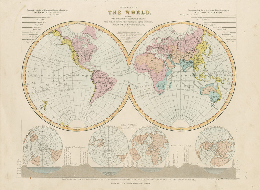
Showing the directions of mountain chains, the ocean basins and principal river systems, trade winds and monsoon regions.
Published by William Mackenzie, Glasgow
Stanford’s Geographical Establishment, London
Dimensions : Map 24cm x 30cm
Mounted in off-white : 39cm x 46.5cm
Condition : A few marks here and there but over-all a well kept map with bold colour and lines.